
Walk a Mason City Street
A useful street-by-street search begins with an exact address and ends with source dates. The USPS ZIP Lookup checks the delivery form, while the county parcel tools connect that address to land. Then the Assessor, Treasurer, Recorder, and historical collections add distinct facts. No single result is a current household roll.
- Confirm the house number, street, directional quadrant, unit, city, state, and ZIP through USPS. A valid delivery address still says nothing about an occupant.
- Find the site in the Cerro Gordo GIS parcel viewer. Record the parcel ID, situs address, legal-description clues, and map layer date.
- Open the Assessor or county tax account. Keep owner, owner mailing address, situs address, value, and sale fields in separate notes.
- Search the Recorder's Tyler route or Iowa Land Records by owner name, county, date, and document type. Read the actual deed when available.
- For an earlier household, ask MCPL Archives or NCIGS about address-order or criss-cross material, then compare the directory entry with a census or deed.
This Mason City street directory method produces a chain of dated evidence. When a portal fails, phone or visit the custodian instead of treating a blank screen as a negative result.
Mason City Tax Address Fields
The Cerro Gordo County tax search is the most clearly documented address form in the local portal set. It accepts parts of a street address and can return a tax-account lead. It has no ZIP field, so postal geography must be checked elsewhere. Use fewer fields first if punctuation, a directional, or a suffix causes no match.
| Search field | Input | Useful detail |
|---|---|---|
| Parcel | Parcel identifier | Best link between tax, map, and assessment records |
| Owner | Name | Assessment or tax-account role, not proof of occupancy |
| House number | Number | Pair with the street field |
| Street | Name, direction, suffix | Test abbreviations and directional variants |
| City and unit | Place and unit text | Helps separate similar address strings |
| ZIP | Not offered | Verify through USPS, not this portal |
The city Assessor's Beacon route may also support owner, address, and parcel searches, but its exact Mason City controls were blocked during research. The Mason City Assessor can explain the live fields by phone at 641-421-3061.
Mason City Street Directory Layers
Several custodians index records by an address, parcel, party, or map feature. The strongest street directory result comes from matching fields rather than merging all names into one list. The source date and the person's role matter as much as the name.
| Address source | Local keeper | What it can show | How to reach it |
|---|---|---|---|
| Assessment card | Mason City Assessor | Parcel, situs, assessment owner, valuation, sales when computerized | Beacon link, phone, office, paper file |
| Tax account | Cerro Gordo Treasurer | Parcel and tax-address lead | Online tax search or office request |
| Parcel map | Cerro Gordo GIS | Parcel shape, points, roads, lots, sections, nearby geography | Viewer, REST service, phone, or office |
| Recorded instrument | County Recorder | Deed party, date, type, legal description, book/page or document number | Tyler, Iowa Land Records, paper index, mail, email, or counter |
| Permit file | Mason City | Public application and project records tied to an address | SmartGov or Chapter 22 request |
| Historic directory | MCPL, NCIGS, LOC | Dated subscriber or business entry and old address form | Online image, library shelf, appointment, or research request |
Voter information is administered by the Cerro Gordo Auditor and Iowa Secretary of State under Chapter 48A. The individual lookup asks for personal identity fields and is not a tool for publishing a whole block. List use is restricted, and Safe at Home can shield a participant's future voter address.
Map Mason City Parcels
The Cerro Gordo GIS office supports the county parcel viewer and engineering atlas. Its tax-parcel service includes parcel polygons and parcel points. Roads, lots, subdivisions, sections, and corporate limits help place an address in context. Start with one known parcel, then click or query the touching parcels along the same side of the street.
Capture the parcel ID, situs address, lot or block label, layer name, and query date. Compare the city boundary with county geography before calling a parcel part of Mason City. GIS lines are for reference, not a legal survey. A recorded plat and legal description control a title or boundary question.
If the interactive viewer will not load, the GIS office takes map questions at 641-421-3036 and the underlying parcel service remains a useful technical source.
Mason City Address Terms
Address records use several terms that look alike but carry different meanings. Keeping them apart prevents the most common street-directory error: calling an owner, taxpayer, or mailing contact a present resident.
- Parcel
- A mapped unit of land tracked under a local identifier. One postal address can involve more than one parcel.
- Situs address
- The physical location assigned to the parcel. It may differ from the owner's mailing address.
- Plat
- A recorded map that lays out lots, blocks, streets, or subdivisions. It is more useful than a web map for legal-description work.
- Criss-cross directory
- A directory arranged by street and house number rather than only by a person's surname.
Mason City also uses NW, NE, SW, and SE directionals. Older printed entries can lose a hyphen or directional in OCR, so inspect the page image before searching a modern portal.
Deeds Along Mason City Streets
The Recorder's document-search page leads to Tyler Web, while Iowa Land Records provides a second statewide route. Search the assessment owner's name as a party, choose Cerro Gordo County, narrow by date or document type, and compare the legal description with the parcel. Grantor means the party transferring an interest; grantee means the party receiving it.
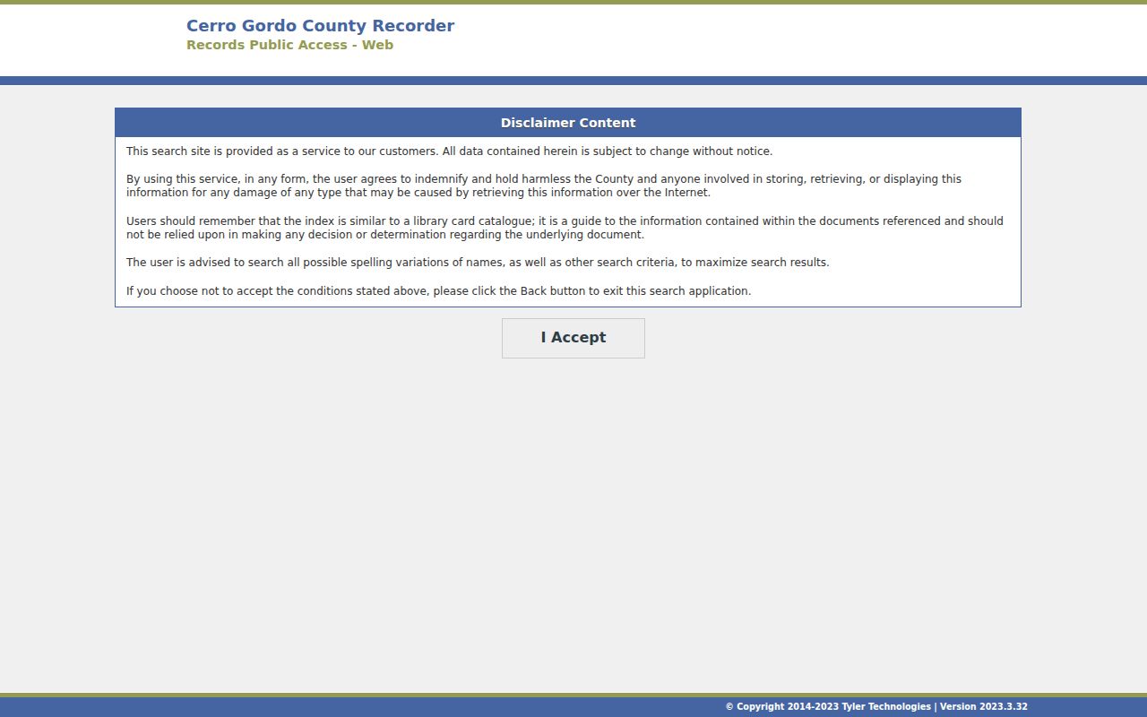
Tyler warns that an index works like a card catalogue. It points toward a recorded document but is not the document itself. Save the document number or book and page, then obtain the image or a copy from the Recorder. The office at 220 N Washington Ave accepts in-person, phone, email, and written inquiries. Ask for a fee estimate and state whether a plain or certified copy is needed.
Older work may require the county's historical index books, the Auditor Transfer Book, paper deeds, or State Historical Society series. This is where a by-address search becomes lot-and-block research.
The Tyler entry screen below shows why the index should be treated as a route into the record, not as a full deed.
Mason City Index Books Offline
Modern portals do not contain every street-era record. State Historical Society holdings include a general deed index from 1854 through 1908, land records from 1855 through 1903, and town-lot index and record series from 1856 through 1902. The Auditor also separates historical transfers through June 30, 2013 from its current route.
The county-linked Cott historical-book interface offers scanned index and image browsing. Its screen is shown below. Record the book, page, index heading, image number, and spelling exactly as displayed before asking the Recorder or archive for the related instrument.
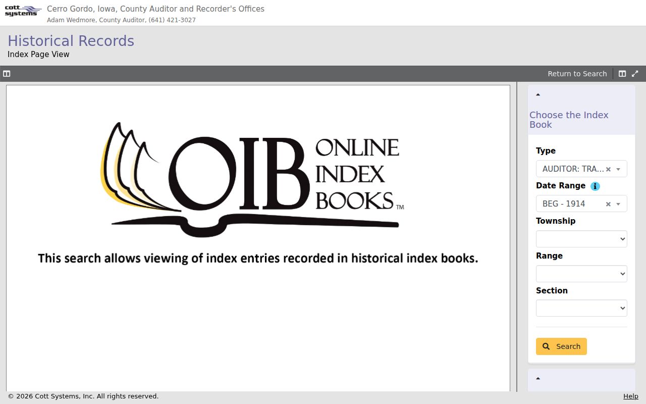
For access beyond the web image, visit or contact the Recorder, Auditor, or State Historical Society. A written request with a street, legal description, party, and year range is far more precise than asking for all records about an address.
Mason City Permits by Address
Mason City's SmartGov public portal is the starting point for local permit and application material. Exact public report fields were not visible during research, so do not promise a complete address index. Search the live portal first, then identify the department, address, permit type, and date span for a focused Iowa Open Records Law request.
Chapter 22 requests can be made in person, in writing, by phone, or electronically to the actual custodian. Ask for an electronic copy when feasible. Keep the request text, date, delivery proof, fee estimate, response, and any cited confidentiality exception.
Permit applicants and contacts have roles in a project file. Those roles do not by themselves establish who occupied the site.
Read Mason City Quadrants
The 1958 telephone directory preserves the city's NW, NE, SW, and SE address language, along with street guides, civic landmarks, rural routes, and old telephone exchanges. OCR can merge a house number with a street name or omit a quadrant. Always compare the searchable text with the scanned image.
An old entry can identify a subscriber, business, institution, or residence label. It cannot show how long the person stayed or name every member of a household. For full treatment of the Polk and telephone runs, use the Mason City city directories collection page.
No official Mason City street-renaming or renumbering conversion table was located. Clear Lake's documented 1949 conversion does not apply here. Ask MCPL Archives, NCIGS, the city engineer, or the Recorder for maps, plats, ordinance indexes, and town-lot books when an old string will not map cleanly.
Mason City Street Desk Options
Sales before 1995 do not appear in computerized Beacon data, according to the county Assessor FAQ. The Assessor keeps paper material and can be reached at 215 N Adams Ave. MCPL Archives at 225 2nd St SE holds maps, local documents, photographs, and city directories, with archive questions handled at 641-421-2721. NCIGS at 75 S Georgia Ave offers directories, maps, plats, obituaries, census, and local history in its library.
Call before traveling. Describe the exact address form, quadrant, year range, and desired record. For a mailed or emailed request, ask staff to locate an index entry or source citation before ordering broad reproduction. These access channels matter because a failed web search may mean paper coverage, a spelling difference, or a record held by another office.
Note: Keep each office's reply with the date and search terms, including a clear “not located” response.
Limits of Mason City Street Records
A Mason City street directory assembled from official records still cannot certify current occupancy. An assessment owner may live elsewhere. A deed records a legal instrument at a point in time. A tax account is not a household list. A printed directory names subscribers selectively, and voter information has statutory use limits.
Driver records are restricted by Iowa and federal law. Utility customer data and private contact details should not be assumed open. Safe at Home supplies a substitute address and confidential voter procedures, though the program does not automatically remove all older public or real-estate records.
Lawful use. Use Mason City address records for legitimate personal, historical, property, and civic research. Never use them to stalk, harass, intimidate, or harm a person.
Record only what the source proves. A careful by-street search labels the role, date, custodian, and access limits instead of turning scattered names into an unsupported resident claim.
When two sources disagree, return to the record closest to the fact in question. USPS controls delivery form, the Assessor explains assessment fields, the Recorder supplies the recorded instrument, and an archive identifies its own historical edition. Note the conflict instead of selecting the most convenient answer. That practice keeps Mason City street research useful even as tax accounts, web portals, and personal circumstances change.